After pulling streetart and graffiti tagged pictures on Instagram, I quickly realized how unmanageable the pictures were becoming. I was gathering approximately 20,000 pictures a day and didn’t have an effective way of browsing them. There were too many pictures for the traditional ‘grid’ layout design. Since they were pictures, there weren’t too many other ways to show them in bulk.
Based on the sheer amount of data, I explored various ways of filtering the images to increase the percentage of getting an actual picture of graffiti (rather then of something else that was tagged streetart or graffiti). Once I started filtering pictures that were tagged with geo location, I quickly found an improvement in results.

Having more than 200,000 images in my database, I looked for ways to break the image set into smaller chunks. This is where I came up with the idea of using location. When I created the map app that reoriented itself every time a new graffiti picture was uploaded to Instagram with geolocation, I was surprised by the number of people who take pictures of graffiti around the world.
Instagram’s APIs dont allow users to make multi-dimensional queries. They have endpoints for hashtag, location, or user searches, but you can’t do them on top of each other. This prevents any searches that use two of the endpoints together. For example, you can’t search for all the hashtag results in a certain geographic area.

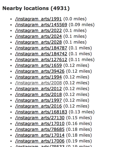
By pulling all of the streetart and graffiti pictures and referencing the results on my own server, I have been able to add additional dimensions of queries onto the hashtag search results. This allows me to do interesting things like find all the other pictures hash-tagged graffiti that are in the same area. In my current case, I can compare a user’s current location to the database of images. This allows me to surface search results that a user can actually go see/find themselves.
The basis of this project is the scraped data that I got through the past few weeks of experimentation. The next part is the mobile interface that makes the search result discovery process relevant to a person who is out and about.
I have a web interface that I can build using a user’s location api in the browser. This is useful, but my end goal is not the graffiti compass. I am simply going through the steps needed to develop a community of people who will document and share graffiti themselves. This is not something that I can start out doing from scratch. The existing Instagram pictures provide me with the astroturfed platform for people to willingly contribute to.